
Бомборы topographic map
Interactive map
Click on the map to display elevation.
About this map
Name: Бомборы topographic map, elevation, terrain.
Average elevation: 56 m
Minimum elevation: -3 m
Maximum elevation: 126 m
Other topographic maps
Click on a map to view its topography, its elevation and its terrain.
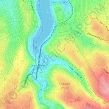
Sewastopol
Russland > Sewastopol > Sewastopol
Sewastopol, Föderationskreis Südrussland, 299000-299699, Russland
Average elevation: 68 m