
Santo Tomás topographic map
Interactive map
Click on the map to display elevation.
About this map
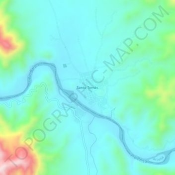
Name: Santo Tomás topographic map, elevation, terrain.
Location: Santo Tomás, Arcelia, Guerrero, México (18.07722 -100.26010 18.11722 -100.22010)
Average elevation: 399 m
Minimum elevation: 304 m
Maximum elevation: 801 m