
Make a donation
Gear up for your next adventure:
As an Amazon Associate, this site earns from qualifying purchases at no extra cost to you.
Cotopaxi topographic map
Click on the map to display elevation.
Make a donation
Gear up for your next adventure:
As an Amazon Associate, this site earns from qualifying purchases at no extra cost to you.
Cotopaxi
In the late 20th century, summiting Cotopaxi became a major tourist draw. The José F. Ribas Refuge (Refugio José Félix Ribas) was built in 1971 at an elevation of 4,864 m (15,960 ft) and enlarged in 2005.
Make a donation
Gear up for your next adventure:
As an Amazon Associate, this site earns from qualifying purchases at no extra cost to you.
About this map
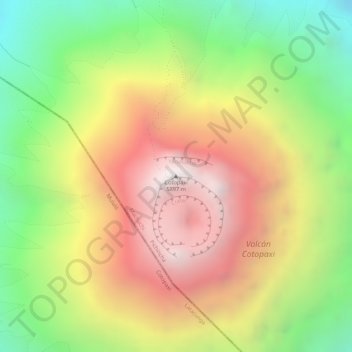
Name: Cotopaxi topographic map, elevation, terrain.
Location: Cotopaxi, Machachi, Pichincha, Ecuador (-0.68061 -78.43782 -0.68051 -78.43772)
Average elevation: 5,314 m
Minimum elevation: 4,717 m
Maximum elevation: 5,869 m
Make a donation
Gear up for your next adventure:
As an Amazon Associate, this site earns from qualifying purchases at no extra cost to you.