
Kwabeng topographic map
Interactive map
Click on the map to display elevation.
About this map
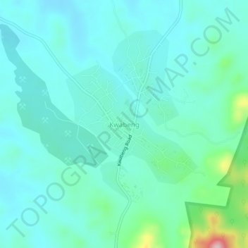
Name: Kwabeng topographic map, elevation, terrain.
Location: Kwabeng, Atiwa West District, Eastern Region, Ghana (6.30005 -0.60965 6.34005 -0.56965)
Average elevation: 215 m
Minimum elevation: 174 m
Maximum elevation: 414 m