
Dargah topographic map
Interactive map
Click on the map to display elevation.
About this map
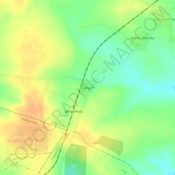
Name: Dargah topographic map, elevation, terrain.
Location: Dargah, Palakeedu mandal, Suryapet, Telangana, India (16.70895 79.68715 16.74895 79.72715)
Average elevation: 79 m
Minimum elevation: 60 m
Maximum elevation: 94 m
Other topographic maps
Click on a map to view its topography, its elevation and its terrain.