
Bakool topographic map
Interactive map
Click on the map to display elevation.
About this map
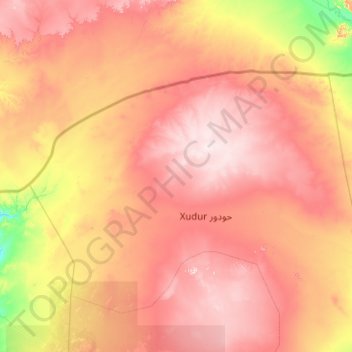
Name: Bakool topographic map, elevation, terrain.
Location: Bakool, Hudur, Bakool, Koonfur Galbeed جنوب غرب, Somalie (3.35144 42.71861 5.35144 44.71861)
Average elevation: 450 m
Minimum elevation: 196 m
Maximum elevation: 748 m