
Chanhassen topographic map
Interactive map
Click on the map to display elevation.
About this map
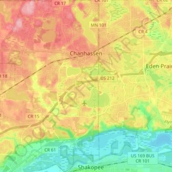
Name: Chanhassen topographic map, elevation, terrain.
Location: Chanhassen, Carver County, Minnesota, 55317, United States (44.79536 -93.62972 44.89156 -93.51133)
Average elevation: 268 m
Minimum elevation: 208 m
Maximum elevation: 331 m