
Mwetemo topographic map
Interactive map
Click on the map to display elevation.
About this map
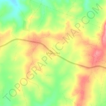
Name: Mwetemo topographic map, elevation, terrain.
Location: Mwetemo, Bagamoyo, Pwani, Coastal Zone, Tanzania (-6.37747 38.48727 -6.33747 38.52727)
Average elevation: 206 m
Minimum elevation: 149 m
Maximum elevation: 255 m