
burnt forest? topographic map
Interactive map
Click on the map to display elevation.
About this map
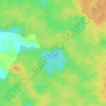
Name: burnt forest? topographic map, elevation, terrain.
Location: burnt forest?, Solano, Caquetá, Colombia (0.10709 -74.62869 0.10896 -74.62672)
Average elevation: 188 m
Minimum elevation: 165 m
Maximum elevation: 204 m
Other topographic maps
Click on a map to view its topography, its elevation and its terrain.
Chiribiquete (Macizo Central)
Chiribiquete (Macizo Central), Solano, Caquetá, Colombia
Average elevation: 290 m