
Hiran topographic map
Interactive map
Click on the map to display elevation.
About this map
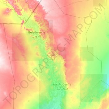
Name: Hiran topographic map, elevation, terrain.
Location: Hiran, Beledweyne District, Hiiraan, Hirshabelle, Somalia (3.36170 44.53331 5.36170 46.53331)
Average elevation: 260 m
Minimum elevation: 119 m
Maximum elevation: 536 m