
Dharmshala topographic map
Interactive map
Click on the map to display elevation.
About this map
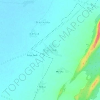
Name: Dharmshala topographic map, elevation, terrain.
Location: Dharmshala, Kaman Tehsil, Bharatpur District, Rajasthan, India (27.58726 77.14904 27.62726 77.18904)
Average elevation: 207 m
Minimum elevation: 194 m
Maximum elevation: 277 m
Other topographic maps
Click on a map to view its topography, its elevation and its terrain.
Bhandara
India > Rajasthan > Kaman Tehsil > Bhandara
Bhandara, Kaman Tehsil, Bharatpur, Rajasthan, India
Average elevation: 187 m