
Long Nawang topographic map
Interactive map
Click on the map to display elevation.
About this map
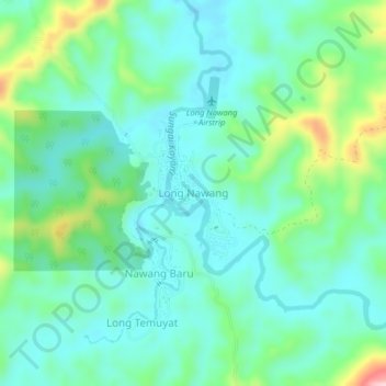
Name: Long Nawang topographic map, elevation, terrain.
Location: Long Nawang, Malinau, North Kalimantan, Indonesia (1.76935 114.88230 1.80935 114.92230)
Average elevation: 627 m
Minimum elevation: 574 m
Maximum elevation: 791 m