
Boijl topographic map
Interactive map
Click on the map to display elevation.
About this map
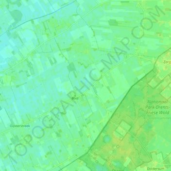
Name: Boijl topographic map, elevation, terrain.
Location: Boijl, Weststellingwerf, Friesland, Nederland (52.88448 6.16546 52.94301 6.24726)
Average elevation: 6 m
Minimum elevation: 0 m
Maximum elevation: 12 m