
Poços de Caldas topographic map
Interactive map
Click on the map to display elevation.
About this map
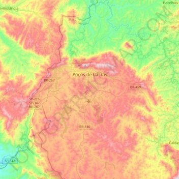
Name: Poços de Caldas topographic map, elevation, terrain.
Average elevation: 1,188 m
Minimum elevation: 754 m
Maximum elevation: 1,686 m
It lies on the boundary of the state of São Paulo at 1186 meters elevation and is the main socio-economic nucleus of its region, having an area of 547 km² (85 km² urban and 459 km² rural) in the municipality.