
West Lavington topographic map
Interactive map
Click on the map to display elevation.
About this map
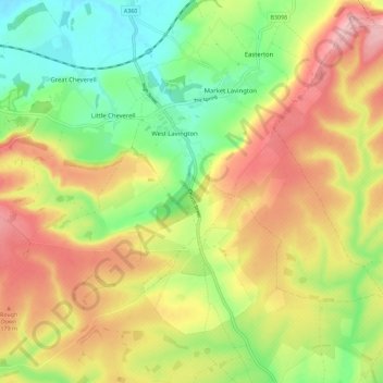
Name: West Lavington topographic map, elevation, terrain.
Location: West Lavington, Wiltshire, England, United Kingdom (51.23237 -2.04152 51.30351 -1.95094)
Average elevation: 135 m
Minimum elevation: 58 m
Maximum elevation: 219 m