
Pasar Usang topographic map
Interactive map
Click on the map to display elevation.
About this map
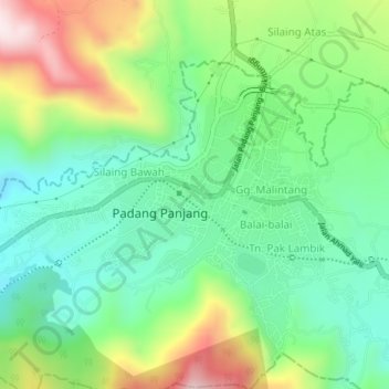
Name: Pasar Usang topographic map, elevation, terrain.
Location: Pasar Usang, West Sumatra, 27111, Indonesia (-0.48371 100.37681 -0.44371 100.41681)
Average elevation: 833 m
Minimum elevation: 652 m
Maximum elevation: 1,180 m