
Tolchester topographic map
Interactive map
Click on the map to display elevation.
About this map
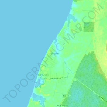
Name: Tolchester topographic map, elevation, terrain.
Location: Tolchester, Kent County, Maryland, United States (39.20392 -76.25580 39.24392 -76.21580)
Average elevation: 4 m
Minimum elevation: -1 m
Maximum elevation: 16 m