
Eastwood topographic map
Interactive map
Click on the map to display elevation.
About this map
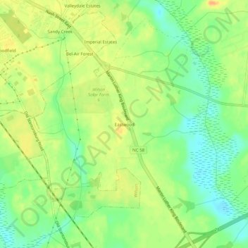
Name: Eastwood topographic map, elevation, terrain.
Location: Eastwood, Wilson County, North Carolina, United States (35.67377 -77.89137 35.71377 -77.85137)
Average elevation: 34 m
Minimum elevation: 17 m
Maximum elevation: 49 m