
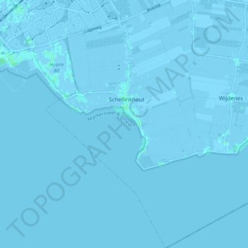
Schellinkhout topographic map
Interactive map
Click on the map to display elevation.
About this map
Name: Schellinkhout topographic map, elevation, terrain.
Location: Schellinkhout, Drechterland, Nordholland, Niederlande (52.60394 5.09486 52.65452 5.15326)
Average elevation: -1 m
Minimum elevation: -6 m
Maximum elevation: 4 m