
Tennant topographic map
Interactive map
Click on the map to display elevation.
About this map
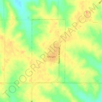
Name: Tennant topographic map, elevation, terrain.
Location: Tennant, Shelby County, Iowa, États-Unis d'Amérique (41.58576 -95.45103 41.60252 -95.43907)
Average elevation: 412 m
Minimum elevation: 386 m
Maximum elevation: 431 m