
Hamhung topographic map
Interactive map
Click on the map to display elevation.
About this map
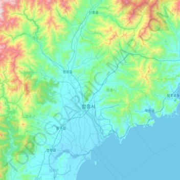
Name: Hamhung topographic map, elevation, terrain.
Location: Hamhung, Hamgyongnam-do, North Korea (39.70507 127.10125 40.22142 127.78979)
Average elevation: 255 m
Minimum elevation: -2 m
Maximum elevation: 1,679 m