
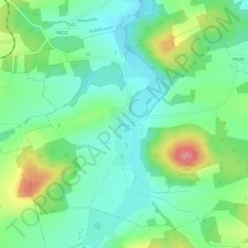
Wottawa topographic map
Interactive map
Click on the map to display elevation.
About this map
Name: Wottawa topographic map, elevation, terrain.
Location: Wottawa, Bezirk Taus, Pilsner Region, Südwesten, Tschechien (49.47372 12.82372 49.49943 12.87062)
Average elevation: 428 m
Minimum elevation: 398 m
Maximum elevation: 494 m