
Tyrone topographic map
Interactive map
Click on the map to display elevation.
About this map
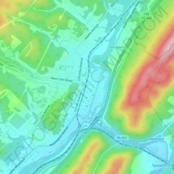
Name: Tyrone topographic map, elevation, terrain.
Location: Tyrone, Blair County, Pennsylvania, United States (40.65889 -78.26409 40.69515 -78.22711)
Average elevation: 341 m
Minimum elevation: 262 m
Maximum elevation: 537 m