
Rocchetta Tanaro topographic map
Interactive map
Click on the map to display elevation.
About this map
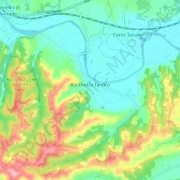
Name: Rocchetta Tanaro topographic map, elevation, terrain.
Location: Rocchetta Tanaro, AT, Piemont, Italy (44.83833 8.31140 44.87609 8.38107)
Average elevation: 148 m
Minimum elevation: 96 m
Maximum elevation: 255 m