
赤城山 topographic map
Interactive map
Click on the map to display elevation.
About this map
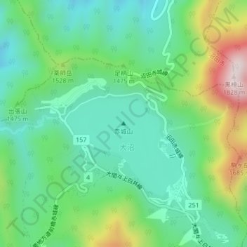
Name: 赤城山 topographic map, elevation, terrain.
Location: 赤城山, Maebashi, Préfecture de Gunma, Kantō, Japon (36.55519 139.17818 36.55529 139.17828)
Average elevation: 1,430 m
Minimum elevation: 1,268 m
Maximum elevation: 1,804 m