
Gelderswoude topographic map
Interactive map
Click on the map to display elevation.
About this map
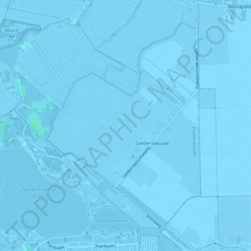
Name: Gelderswoude topographic map, elevation, terrain.
Location: Gelderswoude, Zoeterwoude, Südholland, Niederlande (52.08051 4.51013 52.10255 4.53713)
Average elevation: -3 m
Minimum elevation: -9 m
Maximum elevation: 3 m
Other topographic maps
Click on a map to view its topography, its elevation and its terrain.
Zoeterwoude
Niederlande > Südholland > Zoeterwoude
Zoeterwoude, Südholland, Niederlande
Average elevation: -1 m