
Bach topographic map
Interactive map
Click on the map to display elevation.
About this map
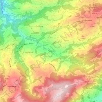
Name: Bach topographic map, elevation, terrain.
Location: Bach, Trogen, Mittelland, Appenzell Ausserrhoden, 9043, Schweiz (47.38533 9.46655 47.42533 9.50655)
Average elevation: 950 m
Minimum elevation: 669 m
Maximum elevation: 1,185 m