
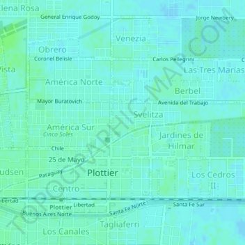
Flores topographic map
Interactive map
Click on the map to display elevation.
About this map
Name: Flores topographic map, elevation, terrain.
Average elevation: 276 m
Minimum elevation: 273 m
Maximum elevation: 281 m
Other topographic maps
Click on a map to view its topography, its elevation and its terrain.
San Román
Argentinien > Provinz Neuquén > Plottier
San Román, Plottier, Departamento Confluencia, Provinz Neuquén, Argentinien
Average elevation: 282 m