
Bandipura topographic map
Interactive map
Click on the map to display elevation.
About this map
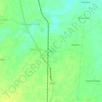
Name: Bandipura topographic map, elevation, terrain.
Location: Bandipura, Alwar Tehsil, Alwar District, Rajasthan, India (27.42118 76.60110 27.46118 76.64110)
Average elevation: 261 m
Minimum elevation: 252 m
Maximum elevation: 269 m