
Galma topographic map
Interactive map
Click on the map to display elevation.
About this map
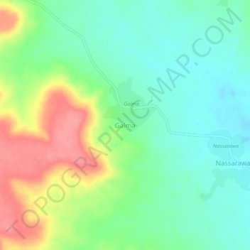
Name: Galma topographic map, elevation, terrain.
Location: Galma, Madaoua, Tahoua Region, Niger (14.06590 5.77800 14.10590 5.81800)
Average elevation: 379 m
Minimum elevation: 348 m
Maximum elevation: 432 m