
Maroa topographic map
Interactive map
Click on the map to display elevation.
About this map
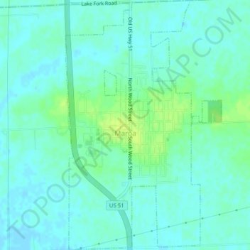
Name: Maroa topographic map, elevation, terrain.
Location: Maroa, Macon County, Illinois, 61756, United States (40.02249 -88.96640 40.05229 -88.94202)
Average elevation: 216 m
Minimum elevation: 211 m
Maximum elevation: 226 m
Other topographic maps
Click on a map to view its topography, its elevation and its terrain.
Decatur
United States > Illinois > Macon County
Decatur, Macon County, Illinois, United States
Average elevation: 205 m