
Kabwohe topographic map
Interactive map
Click on the map to display elevation.
About this map
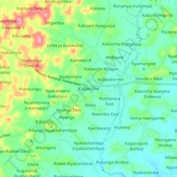
Name: Kabwohe topographic map, elevation, terrain.
Location: Kabwohe, Sheema, Western Region, Uganda (-0.62098 30.33815 -0.54098 30.41815)
Average elevation: 1,488 m
Minimum elevation: 1,431 m
Maximum elevation: 1,638 m