
Meeson topographic map
Interactive map
Click on the map to display elevation.
About this map
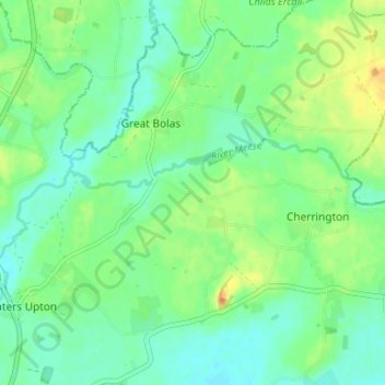
Name: Meeson topographic map, elevation, terrain.
Average elevation: 63 m
Minimum elevation: 50 m
Maximum elevation: 86 m
Routes: Telford and Wrekin GPS tracks, routes, trails, hikes