
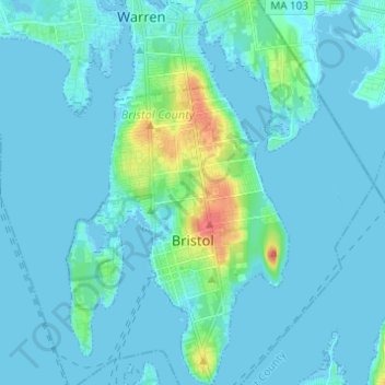
Bristol topographic map
Interactive map
Click on the map to display elevation.
About this map
Name: Bristol topographic map, elevation, terrain.
Location: Bristol, Bristol County, Rhode Island, 02809, United States (41.64269 -71.30661 41.73432 -71.23547)
Average elevation: 6 m
Minimum elevation: -7 m
Maximum elevation: 54 m