
زفر topographic map
Interactive map
Click on the map to display elevation.
About this map
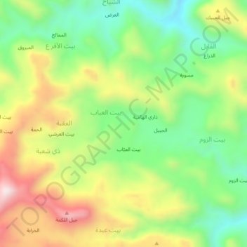
Name: زفر topographic map, elevation, terrain.
Location: زفر, مديرية الرضمة, محافظة إب, Iêmen (14.19667 44.49667 14.23667 44.53667)
Average elevation: 2,531 m
Minimum elevation: 2,284 m
Maximum elevation: 2,866 m