
Kinoru topographic map
Click on the map to display elevation.
About this map
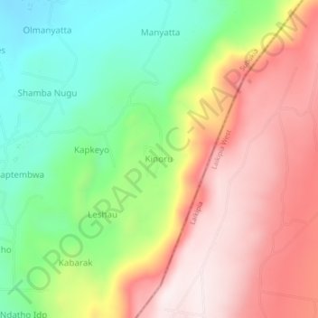
Name: Kinoru topographic map, elevation, terrain.
Location: Kinoru, Waseges ward, Subukia, Nakuru, Rift Valley, Kenya (0.05800 36.24151 0.09800 36.28151)
Average elevation: 2,125 m
Minimum elevation: 1,785 m
Maximum elevation: 2,482 m