
St. Margaret's topographic map
Interactive map
Click on the map to display elevation.
About this map
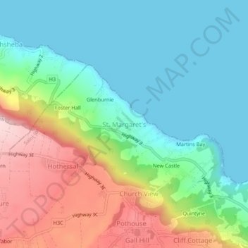
Name: St. Margaret's topographic map, elevation, terrain.
Location: St. Margaret's, Saint John, BB20004, Barbados (13.18000 -59.52309 13.22000 -59.48309)
Average elevation: 96 m
Minimum elevation: 0 m
Maximum elevation: 295 m