
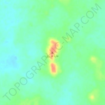
Qarat Umm Ri` topographic map
Interactive map
Click on the map to display elevation.
About this map
Name: Qarat Umm Ri` topographic map, elevation, terrain.
Location: Qarat Umm Ri`, Qaryah al `Ulya, Ach-Charqiya, Arabie saoudite (27.21495 47.65659 27.21505 47.65669)
Average elevation: 259 m
Minimum elevation: 246 m
Maximum elevation: 290 m