
Thank you for supporting this site ❤️
Make a donation
Make a donation
Gear up for your next adventure:
As an Amazon Associate, this site earns from qualifying purchases at no extra cost to you.
Wyoming topographic map
Click on the map to display elevation.
Thank you for supporting this site ❤️
Make a donation
Make a donation
Gear up for your next adventure:
As an Amazon Associate, this site earns from qualifying purchases at no extra cost to you.
About this map
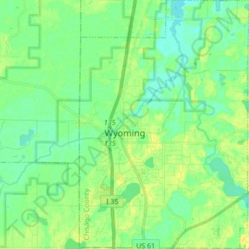
Name: Wyoming topographic map, elevation, terrain.
Location: Wyoming, Chisago County, Minnesota, United States (45.29647 -93.01955 45.38203 -92.93627)
Average elevation: 274 m
Minimum elevation: 264 m
Maximum elevation: 292 m
Thank you for supporting this site ❤️
Make a donation
Make a donation
Gear up for your next adventure:
As an Amazon Associate, this site earns from qualifying purchases at no extra cost to you.
Other topographic maps
Click on a map to view its topography, its elevation and its terrain.
Moody Lake
United States > Minnesota > Chisago County > Chisago Lake Township
Average elevation: 283 m