
Shenyang City topographic map
Interactive map
Click on the map to display elevation.
About this map
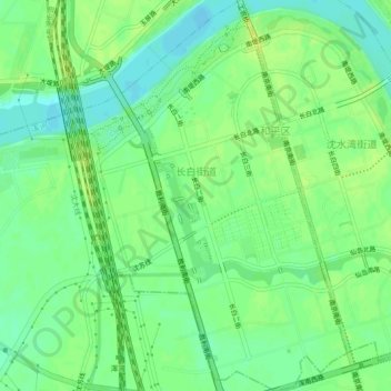
Name: Shenyang City topographic map, elevation, terrain.
Average elevation: 42 m
Minimum elevation: 33 m
Maximum elevation: 50 m
Other topographic maps
Click on a map to view its topography, its elevation and its terrain.
Shenyang City
PRC > Liaoning > Shenyang City
Liaohe Subdistrict, Huanggu District, Shenyang City, Liaoning, PRC
Average elevation: 53 m