
Hénumont topographic map
Interactive map
Click on the map to display elevation.
About this map
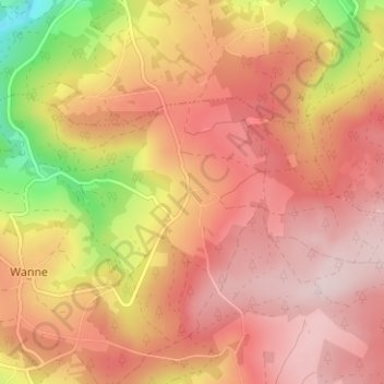
Name: Hénumont topographic map, elevation, terrain.
Location: Hénumont, Trois-Ponts, Verviers, Liège, Wallonia, 4980, Belgium (50.34411 5.92802 50.38411 5.96802)
Average elevation: 471 m
Minimum elevation: 260 m
Maximum elevation: 585 m