
Sljeme topographic map
Interactive map
Click on the map to display elevation.
About this map
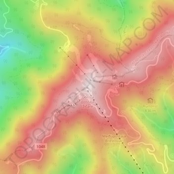
Name: Sljeme topographic map, elevation, terrain.
Location: Sljeme, Zagreb, Stadt Zagreb, Kroatien (45.89925 15.94733 45.89935 15.94743)
Average elevation: 801 m
Minimum elevation: 458 m
Maximum elevation: 1,029 m
Other topographic maps
Click on a map to view its topography, its elevation and its terrain.