Ta Khun Taing (Middle) topographic map
Interactive map
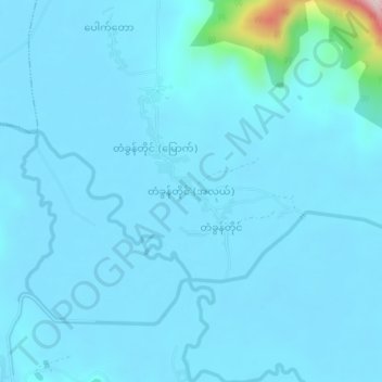
Click on the map to display elevation.
About this map
Name: Ta Khun Taing (Middle) topographic map, elevation, terrain.
Average elevation: 26 m
Minimum elevation: 4 m
Maximum elevation: 364 m

Click on the map to display elevation.
Name: Ta Khun Taing (Middle) topographic map, elevation, terrain.
Average elevation: 26 m
Minimum elevation: 4 m
Maximum elevation: 364 m