
Častkov topographic map
Interactive map
Click on the map to display elevation.
About this map
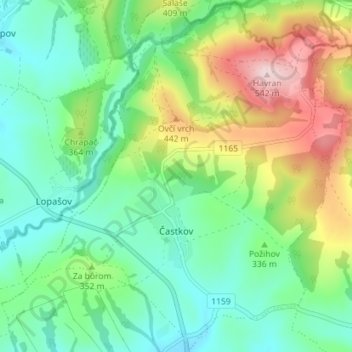
Name: Častkov topographic map, elevation, terrain.
Average elevation: 338 m
Minimum elevation: 243 m
Maximum elevation: 540 m
Die Gemeinde befindet sich im Hügelland Myjavská pahorkatina unweit der Weißen Karpaten, unterhalb des Bergs Havran (542 m n.m.). Das Ortszentrum liegt auf einer Höhe von 280 m n.m. und ist neun Kilometer von Senica entfernt.