
Бахмут topographic map
Interactive map
Click on the map to display elevation.
About this map
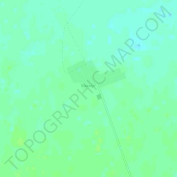
Name: Бахмут topographic map, elevation, terrain.
Location: Бахмут, Tayınşa District, North Kazakhstan Region, Kazakhstan (53.94750 69.64173 53.96043 69.67092)
Average elevation: 147 m
Minimum elevation: 142 m
Maximum elevation: 152 m
Other topographic maps
Click on a map to view its topography, its elevation and its terrain.