Geolocate

Cardoness Castle topographic map

Interactive map

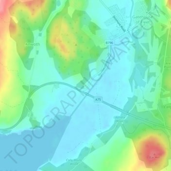
Click on the map to display elevation.

About this map

Name: Cardoness Castle topographic map, elevation, terrain.

Location: Cardoness Castle, B796, Gatehouse of Fleet, Dumfries and Galloway, Scotland, DG7 2EG, United Kingdom (54.87232 -4.19829 54.87246 -4.19803)

Average elevation: 27 m

Minimum elevation: -3 m

Maximum elevation: 107 m

Other topographic maps

Click on a map to view its topography, its elevation and its terrain.

Gatehouse of Fleet

United Kingdom > Scotland > Dumfries and Galloway > Gatehouse of Fleet

Gatehouse of Fleet, Dumfries and Galloway, Scotland, DG7 2HR, United Kingdom

Average elevation: 64 m