
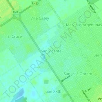
San Vicente topographic map
Interactive map
Click on the map to display elevation.
About this map
Name: San Vicente topographic map, elevation, terrain.
Average elevation: 112 m
Minimum elevation: 106 m
Maximum elevation: 119 m
Other topographic maps
Click on a map to view its topography, its elevation and its terrain.
Cañada de Gómez
Argentinien > Sta. Fe > Cañada de Gómez
Cañada de Gómez, Municipio de Cañada de Gómez, Departamento Iriondo, Sta. Fe, Argentinien
Average elevation: 93 m
Rosario Centro
Argentinien > Sta. Fe > Rosario
Rosario Centro, Distrito Centro, Rosario, Municipio de Rosario, Departamento Rosario, Sta. Fe, S2000, Argentinien
Average elevation: 22 m
Departamento San Cristóbal
Departamento San Cristóbal, Sta. Fe, Argentinien
Average elevation: 73 m