
白营乡 topographic map
Interactive map
Click on the map to display elevation.
About this map
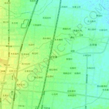
Name: 白营乡 topographic map, elevation, terrain.
Location: 白营乡, 汤阴县, 安阳市, Henán, China (35.89860 114.38400 35.97860 114.46400)
Average elevation: 68 m
Minimum elevation: 60 m
Maximum elevation: 78 m