
McKinley topographic map
Interactive map
Click on the map to display elevation.
About this map
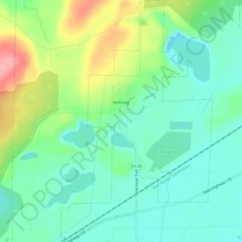
Name: McKinley topographic map, elevation, terrain.
Location: McKinley, Saint Louis County, Minnesota, USA (47.49272 -92.42380 47.52733 -92.39167)
Average elevation: 451 m
Minimum elevation: 416 m
Maximum elevation: 528 m