
Raimat topographic map
Interactive map
Click on the map to display elevation.
About this map
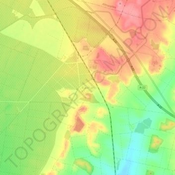
Name: Raimat topographic map, elevation, terrain.
Location: Raimat, Lérida, Segriá, Lérida, Cataluña, 25111, España (41.65831 0.45820 41.69831 0.49820)
Average elevation: 293 m
Minimum elevation: 240 m
Maximum elevation: 339 m
Other topographic maps
Click on a map to view its topography, its elevation and its terrain.